Legend
|
 |
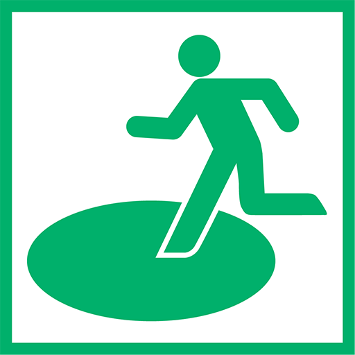
Designated Evacuation Shelter and Area
For the purpose of sheltering and protecting people who were unable to secure a place to live due to the collapse of their houses due to disasters, etc., schools, community centers, public buildings, etc. are designated after taking into consideration the convenience of transporting and accumulating supplies, cooking, lodging, etc.
|
 |
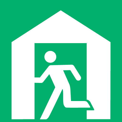
Designated Emergency Evacuation Area
School grounds, parks, and public facilities are designated as emergency evacuation sites to protect lives from the dangers of disasters.
|
 |
Facilities for people with special care
|
 |
Large-scale Factories, etc.
|
 |
City hall and service centers
|
 |
Police Station
|
 |
Fire Station
|
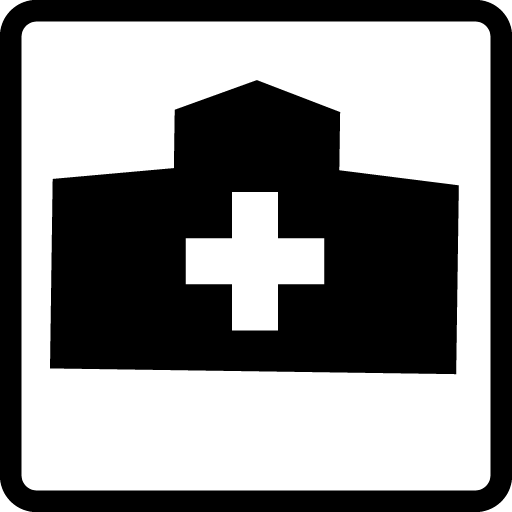 |
Regional disaster base hospital/support hospital
A hospital that serves as a base for medical relief activities at the time of disaster. The hospital mainly provides medical care to the seriously injured or ill persons in cooperation with related organizations. In the event of a disaster, the hospital prioritizes injured or ill persons according to their degree of clinical urgency and severity by the triage process, provides first aid, and accepts patients who have to be accommodated.
|
 |
Rainfall Observatory
|
 |
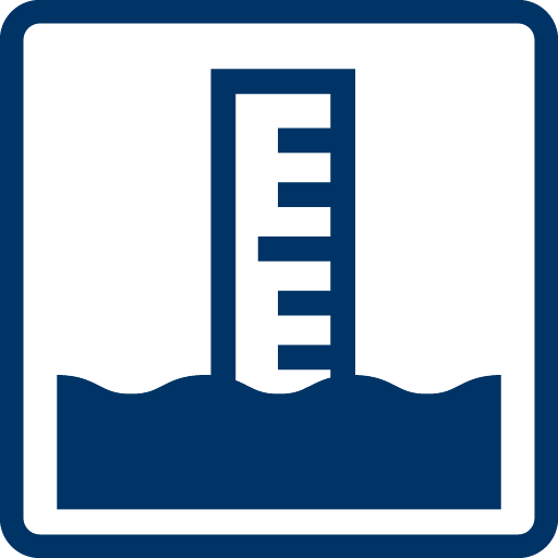
Water-level Observatory
|
 |
Water Gauge
|
 |
River Surveillance Camera
|